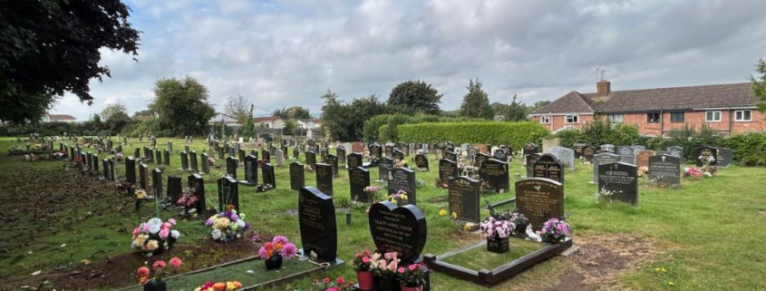
New Council Case Studies

New Case Studies

Great news! We’ve just added new council and cemetery case studies to the Pear Technology website, showcasing how our mapping solutions are making a real difference for our clients.

Discover How Pear Technology is Empowering Local Councils
These new case studies offer a fascinating look at the diverse ways Pear Technology’s expertise and PearGIS software are being used to solve real-world challenges for local councils.

  1. Chippenham Neighbourhood Plan: Read how our mapping services and solutions are invaluable to town planning and community development.
  2. Ross-on-Wye Wayfinding Measurements: Learn how we helped modernise town centre signage by providing precise wayfinding measurements using our new PearGIS software.
  3. Henley-on-Thames Cemetery Management: Discover how an interactive online map revolutionised cemetery and burial record management for the council.

These stories highlight our commitment to providing tailored, effective mapping solutions. We invite you to explore these new case studies and see the tangible benefits our clients are experiencing.

Ready to learn more? Head over to our council mapping solutions page to read the full case studies!

Been inspired to take on a mapping project of your own? Has your council used Pear’s mapping software to help revolutionise grounds management or events? We’d love to hear from you – get in touch today!

Chippenham Neighbourhood Plan Case Study
One of Ross-on-Wye's new fingerposts
Ross-on-Wye Town Council Fingerpost Wayfinding Measurements Case Study

Digital Mapping Toolkit

Framlingham Cemetery Searcher

NALC Digital Mapping Workshop: Harnessing Local Knowledge

Pear Technology are excited to be running a workshop at next week’s NALC Annual Conference in collaboration with GeoXphere and Bluesky.


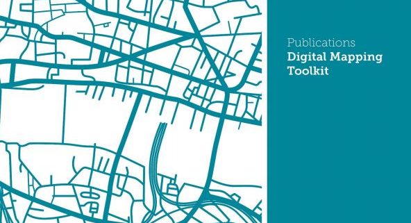
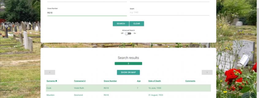
The workshop will spread the word about how councils should be using digital mapping to harness local knowledge in order to better understand and serve their local area. Digital mapping can seem daunting at first but our workshop will help explain the different options available and demystify the process of putting your council on the map.


The workshop will be held on 30th October at 16.00 – 17.00 and again at 17.00 – 18.00 in the Explorer room.


To read more about the workshop and conference in general visit the NALC website here:- https://www.nalc.gov.uk/annualconference


To read more about Pear Technology and GeoXphere’s partnership agreement you can read our press release here:- https://www.peartechnology.co.uk/geoxphere-and-pear-technology.