


MapLink is a bolt on for PT-Mapper, enabling you to embed your data within your maps, bringing them to life.
When the link is set up, MapLink allows you to select a map object and see the data relating to that map object, whether a tree, an asset, a property boundary, MapLink gives you the information you want.
Benefits / Uses
| Property Management Tree surveying Utility Management Assets recording Events planning |
Projects analysis Maintenance organisation |
Download the trial
Download the 30-day free trial, watch the introduction video, and have a look around the demo maps.
If you like it, contact us to purchase.
Link to your map
Choose which of your maps you want to link to to show the data on whether you are importing data onto the map or displaying the data that already exists on the map.
Connect to your database
Direct MapLink to the database or spreadsheet that contains the data you need to display.
Produce the prints
Once the maps are connected you are ready to go to analyse the data and produce the maps you need.
The Linking Software
- MapLink
- £350
- Link multiple data sources from Text Files (CSV), Excel, Access or SQL Server to your map
- Points can be plotted using location information in the records
- Click an object on the map to display the data related to it
- Linked data is stored in the database so the map is kept live and up to date
- Links to Pear’s Treeminder and Cemetery Database software
- Print or export simple reports to Excel
- Theme (style) the map using the linked data
- The Find Objects tool makes locating specific assets or areas easy
- Links to PT-Mapper to make map editing easy (purchase of PT-Mapper required)
- Links to OS OpenSpace maps
- Possible uses include managing assets, allotments, cemeteries, cropping plans, tree management
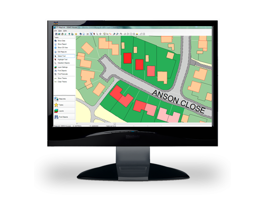
Theming Example
Imagine cropping data has been collected for each field on a farm in an excel spreadsheet. The first column will contain the field number (that links to your map), the second column is the crop type, called ‘2018 Cropping’. Select this column and MapLink will filter out all the unique entries such as Barley, Winter Wheat etc. Simply choose the colours you would like to represent the type of crop and press ok. Each field on the farm will now be coloured according to its crop type.
Designed for your business

Tree Management
MapLink gives Tree Managers the tools to interrogate the map. Get the data you need at the click of a button, whether for yourself or for your clients. MapLink gives you another dimension to your management ability.

Rural
Whether you need to know what is happening with your tenancies, your tree management, your events or your assets MapLink allows you to see everything in one place. At the click of a button you are given all the information you have collected to help you make more effective decision, because the information is at your finger tips.

Councils
Linking to Asset Manager, MapLink will open your possibilities for council management of assets, because all the information is where you need it, in one place. See what is where, and with a click of a button get the data you need.


