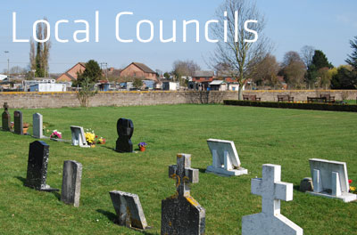
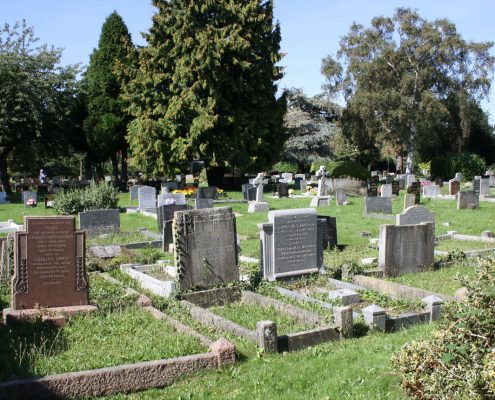
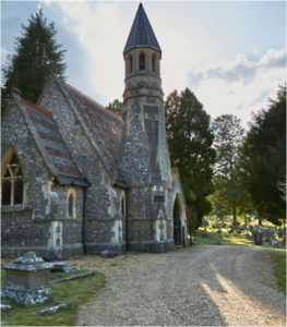
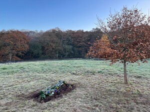
Cemetery mapping solutions designed for local councils

Private Crematoria

For private crematoria

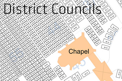
District Councils Cemetery Map

For district councils

For natural and woodland burial grounds

Cemetery mapping solutions designed for you

Why choose a Pear Cemetery Map?

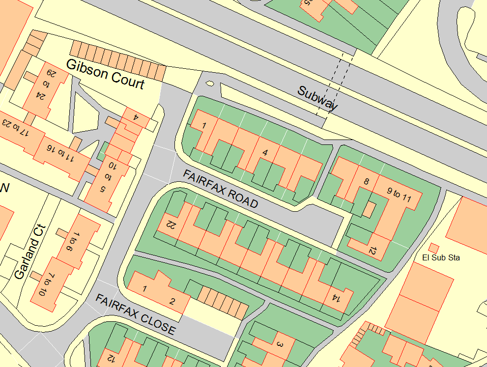
A Pear cemetery map is created using the latest and most reliable data sources available, from Ordnance Survey data to aerial imagery, GPS and existing paper maps. Our experience and expertise in this sector means your cemetery maps are both accurate and affordable.

  • High Quality

    Based on Ordnance Survey Mastermap Topography Layer our cemetery maps are incredibly accurate.

  • Experienced

    Pear Technology have been creating cemetery maps since 1999.

  • Knowledgable

    Pear are an Associate Corporate member of the Institute of Cemetery and Crematorium Management (ICCM).

  • Affordable

    Ask us for a quote – our cemetery maps are not only highly accurate, but are also some of the most affordable on the market.

  • Compatible

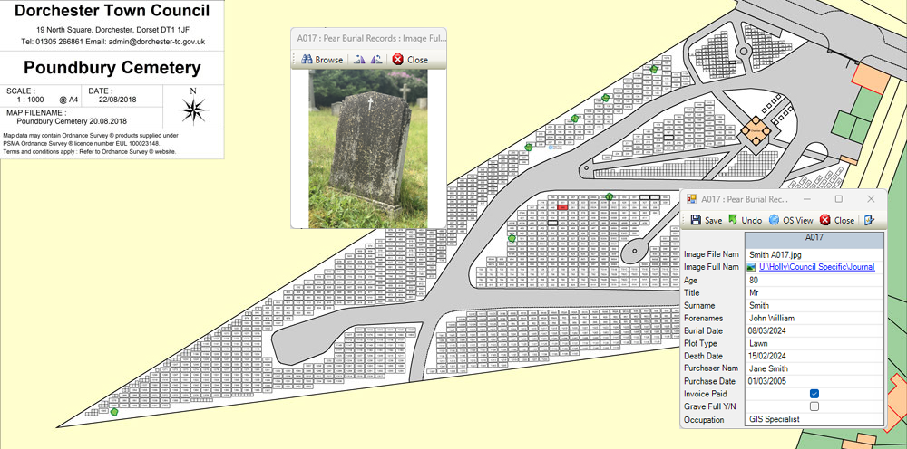
    Maps can be linked to Pear’s own burial database, or existing cemetery management systems.

  • Supported

    Our friendly and knowledgeable UK based support team will be there to help you out should you need it.

Typical Users

  • Local Councils
  • District Councils
  • Churchyards
  • Private Cemeteries and Crematoria
  • Natural and Woodland Burial Grounds
ICCM Associate Logo

The process is very straight forward and Pear have been extremely professional and helpful. Having all of the details of our cemeteries at my fingertips has been well worth the cost and effort involved and will prevent any mistakes being made in future.

The Cemetery software has made a vast improvement to the way in which we manage our cemetery records. It saves time searching for information on the plots and their location. It holds the data all in one place including memorial details and is simple to use.

The Process

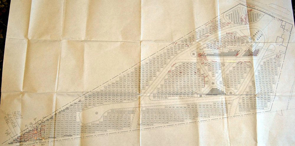
The three stages of original paper map to digital map to online interactive map.

Cemetery Searcher

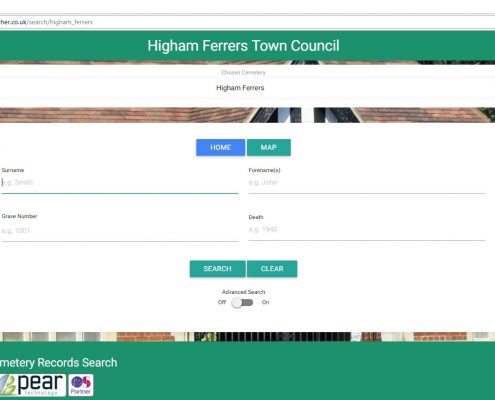
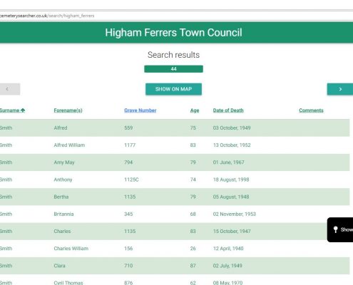
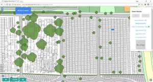
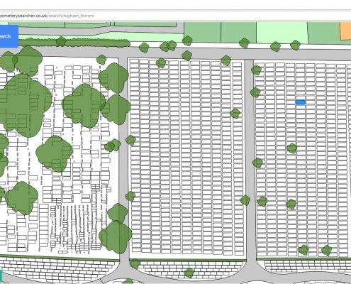
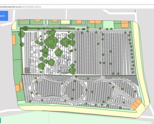
Cemetery Searcher is a new and unique online burial records search facility linked to an interactive map. It allows members of the public to search records for loved ones and locate their graves on a map.

The GPS Locate feature enables visitors to the cemetery to easily locate graves when viewing the map on their smartphone.

Click here to visit Higham Ferrers Town Council’s Cemetery Searcher

Pear cemetery maps link to these Burial Administration Systems

Case Studies

Henley on Thames Town Council’s Online Interactive Cemetery Map: HeritEdge

Henley-on-Thames Town Council found relying on their old paper cemetery map was costing them time. Now everyone at the council has easy access to the map which now also contains aerial imagery, can also be viewed online, and will eventually be shared with the public. The map links to Edge IT Systems Epitaph and HeritEdge burial administration system.

Find out more here:-  Henley-on-Thames Interactive Online Cemetery Map Case Study

Ross-on-Wye Town Council’s Online Interactive Cemetery Map: Cemetery Searcher

Ross-on-Wye Town Council ordered Cemetery Searcher to offer a better service to the public and save time dealing with enquiries.

Read more in their newsletter .

Higham Ferrers Town Council’s Online Interactive Cemetery Map: Cemetery Searcher

Pear Technology’s cemetery mapping package helped Higham Ferrers Town Council reduce their time spent searching burial records from 45 minutes to 5 minutes!

To find out more read our case study here: Higham Ferrers Town Council Case Study

FAQ

Register to Download

    Email (required)

    Name (required)

    Organisation

    [mailpoetsignup mailpoetsignup-943 mailpoet_list_4 default:on]

    ×
    Sign up for our newsletter

    Interested in how mapping can help you? Sign up for our occasional newsletter about how people are using maps for land and asset management.

    ×
    Take a tour

    ×
    Register to Download

    Enter your details below to receive an email with download links.

    ×
    Data Sets
    ×
    Ordnance Survey Data in Pear Products

    MasterMap

    ×
    Land Registry Data in Pear Products

    ×
    Rural Payments Agency Data in Pear Products

    ×
    INSPIRE Data in Pear Products

    ×
    Register Interest

    Please enter your details below to register your interest in Map Shop.

    ×
    Register Interest

    Please enter your details below to register your interest in PearGIS. [wysija_form id=”5″]

    ×
    PearGIS Trial

    Enter your details below to receive an email with download links.

    ×