Mapping solutions

Designed for you

Not sure what you need?

Let us guide you!

Digital mapping services, for all companies.

Licensed Partners to the Ordnance Survey since 1995

Easy to use, high quality digital maps and mapping services to simplify your mapping needs.

Affordable and reliable products created by our team of experts, who are always on hand to provide support. 

SAVE YOUR TIME.

Let us do the work for you.

We offer a variety of mapping services so that we can do all the mapping work for you, and leave you with more time to focus on the things that matter most.

Our Products

PT-Mapper
MapLink

PT Mapper

MapLink

TreeMinder

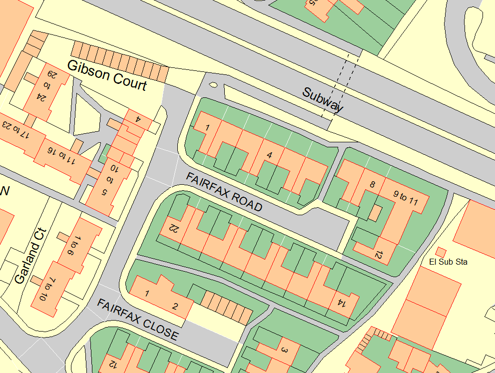
PT-Mapper Pro is our classic map editing software. Take existing maps, such as Ordnance Survey’s various digital map datasets, and edit them to create personalised maps.

PearGIS is our latest GIS software and is a powerful desktop based GIS package that offers simple mapping functionality with database driven decisions.

Connect your data to your map, and bring up the related info with just a click.

You can also colour highlight search results, link to photos, documents, other maps etc.

Easy to use, effective on-going management tool and database.

Create management reports within minutes.

Designed to be used after capturing tree data from the GPS device.

SIMPLE TO USE

No IT skills?

No worries

All Pear Technology software is designed to be user friendly, to suit all customers of all abilities.

AFFORDABLE

Only pay for the functionality you need. 

Our modular purchase options mean our products are accessible to individuals as well as larger organisations.

SUPPORTED

We value building strong relationships with our customers.

If ever you need help, you’ll be put straight through to one of our software developers.

COMPREHENSIVE

All of our products are specifically designed to cater to the niche markets we serve.

Our software is open, enabling you to easily exchange maps and data with other systems, serving your needs without limits.

Designed for Your Business

BUSINESS

Many businesses need to manage complex facilities and sites – either their own or those of their clients. We offer cost-effective, comprehensive yet simple mapping solutions that help businesses to be managed more effectively.

Contact us to find out more →

COUNCILS

Pear Technology provides a one-stop shop for councils and public sector bodies. Using Ordnance Survey maps as the basis, we help you manage your properties, assets, cemeteries and allotments. Everything supported under one roof.


More →


TREE MANAGEMENT

We provide a complete solution for arboricultural professionals. Our modular design means that you only need to pay for the functionality you need, whilst its simple and straightforward interface means that specialist IT or CAD skills are not required.

More →

RURAL

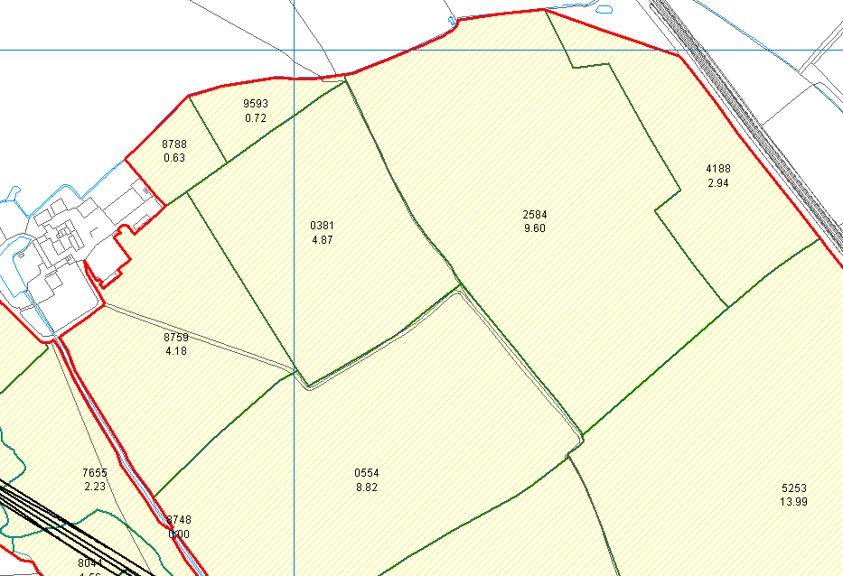
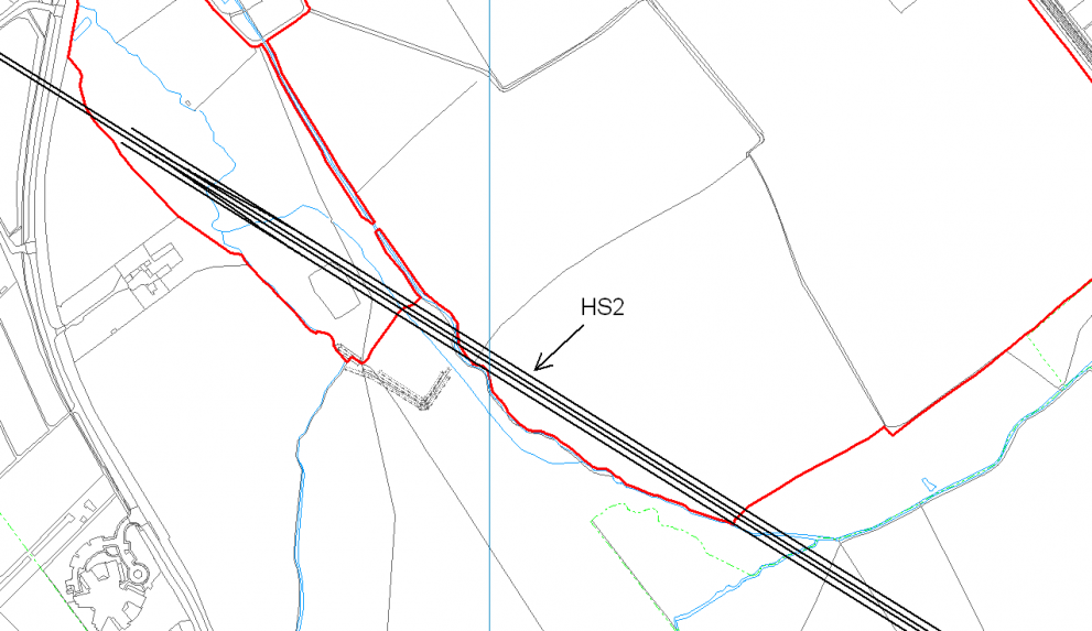
Mapping software helps you to manage your land more effectively. You can  measure,  record, visualise, plan, communicate and strategically organise your farm, forest and estate management activities with all information available through one system.


More →

Our Customers

Pear Technology’s mapping system and services have become integral throughout our land agency and farm consultancy businesses.

I have used Pear’s software for 10 years. Their product is excellent and they also provide first-class support, ensuring that our mapping provides us with all the information we require to run our business.

Pear Technology provides a modern and streamlined digital mapping platform that has greatly enhanced the way we manage our rural estates.

We mostly use PT-Mapper Pro for asset mapping. I have  not only found it easy to use but also very useful as the data is linked to each asset which obviously saves us time. I haven’t had any difficulties with the software but any technical issue I have had, I just call up and it gets sorted asap.

The Pear Technology system cost us about £2,000.00 in 2010, including training and the first year’s support. It’s difficult to quantify monetary savings but the system has enabled us to do our work in a faster, more professional and more responsive way. It’s difficult now to imagine not having such a system.

Stratton St. Margaret Parish Council is responsible for cemeteries, allotments, play areas, open spaces and assets such as dog bins, litter bins etc. Pear’s  software  has not only helped with the management of all this but is easy to use.

We have been using Pear Technology’s mapping and tree management software for over 3 years now. We are very pleased with the software that we use. Their customer support and service is second to none.

Needless to say PT-Mapper Pro is a very user-friendly system to use. RPAs (including multi-stems) and crown spreads can be easily plotted; title boxes can be quickly added along with layers for ground protection, tree protection fencing or construction exclusion zones. Plans can then be printed or exported back to clients. All in all PT-Mapper Pro is a great product with sound back-up from the technical staff.

Pear Technology’s software has proven itself invaluable, I don’t know how I managed without it. It’s easy to use, speeds up data capture, has a diverse range of uses and improves overall efficiency. Pear Technology provide exceptional customer service and I have no hesitation in recommending them. One of the best companies I have ever worked with.

The software has become an integral part of our consultancy service and is a fantastic tool.

Using PT Mapper Pro has sped up the plotting process considerably, and it is now an invaluable tool for me.  The time saved with plotting has more than covered the investment and I would be lost without it.  It is a reliable piece of equipment for me, and helps to ensure that the plans in each report look as professional as the text and survey data.

Simmons and Sons have used Pear Technology for a number of years. The product for Rural Land agents  is in our experience the best on the market. The backup service and support Pear Tech has given is extremely helpful and thorough. I would recommend them.

News

September Shows

Pear Technology and OTISS Logos
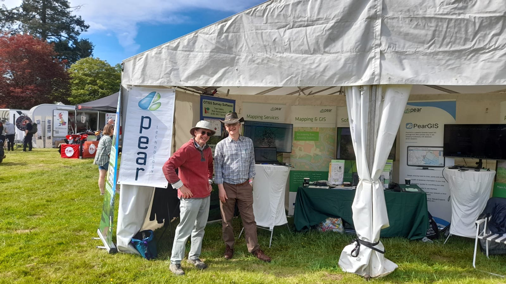
Paul and Jonathan man the Pear and OTISS stand
The team at the Farm Business Innovation Show 2022

2024 Events

Pear Technology and OTISS Logos
Photo of graves in Ross-on-Wye Cemetery
We are at the Arboricultural Association

Latest in Rural

The latest updates in the Rural Sector for 2023, our upcoming PearGIS updates and some of our upcoming ventures for the year.

Support

Based in Hampshire, we spend a considerable amount of time visiting and developing strong and lasting relationships with our customers. This means helping you to assess the benefits that geographic mapping systems can bring to your business. Together we’ll determine the best solution for you and provide quick and effective training to get you and your colleagues started. We’ll also help create your maps – either from existing data or from new surveys.

Licensed Partners to the Ordnance Survey

Pear Technology have been Licensed Partners with Ordnance Survey since the early days in 1995.  It is a great privilege to be so close to OS and to be able to provide you with the best national data sets that can be found anywhere in the world.

Friendly and knowledgeable advice from our sector experts. To speak to one of our technical specialists, please contact us on 023 9249 9689. Our office hours are 9am-5pm Monday to Friday.

Register to Download

    Email (required)

    Name (required)

    Organisation

    [mailpoetsignup mailpoetsignup-943 mailpoet_list_4 default:on]

    ×
    Sign up for our newsletter

    Interested in how mapping can help you? Sign up for our occasional newsletter about how people are using maps for land and asset management.

    ×
    Take a tour

    ×
    Register to Download

    Enter your details below to receive an email with download links.

    ×
    Data Sets
    ×
    Ordnance Survey Data in Pear Products

    MasterMap

    ×
    Land Registry Data in Pear Products

    ×
    Rural Payments Agency Data in Pear Products

    ×
    INSPIRE Data in Pear Products

    ×
    Register Interest

    Please enter your details below to register your interest in Map Shop.

    ×
    Register Interest

    Please enter your details below to register your interest in PearGIS. [wysija_form id=”5″]

    ×
    PearGIS Trial

    Enter your details below to receive an email with download links.

    ×