Software
Get immediate access to our software today – click the link below to register.
Please note, Apple products are not currently supported.

PT Mapper
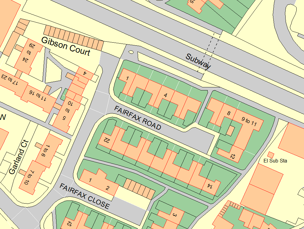
Our flagship product, PT Mapper, forms the heart of any mapping system. Professional yet easy to use, PT Mapper lets you take existing maps such as Ordnance Survey and make it your own.

MapLink
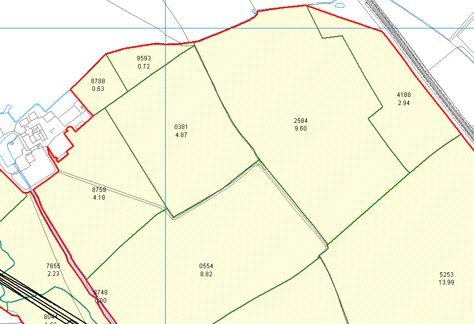
Connect your databases to the real world. Maplink lets you visualise your businesses information, aiding understanding and helping you see trends and correlations not apparent in tabular data.

TreeMinder
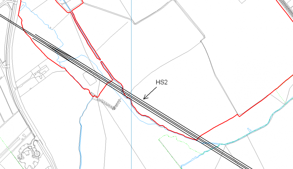
After capturing tree data from the GPS device, TreeMinder allows you to make sense of it. Create management plans, reports and keep this vital data organised to run your business smoothly.


