Boundary Mapping
Overview
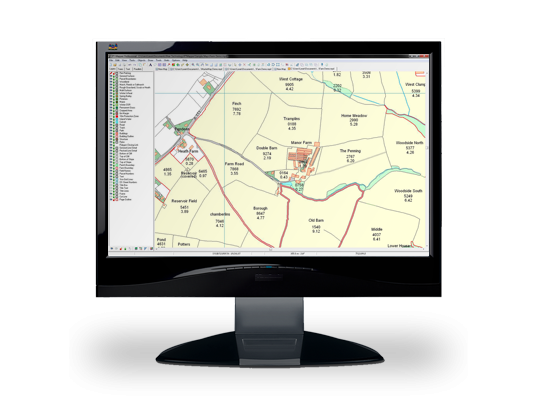
PT-Mapper is the core application for creating maps for managing land and assets. It provides more power than free online mapping services and all the key functions of more expensive geographic information systems. PT-Mapper brings together your own data with that of other agencies to create a single version of the truth at your fingertips.
PT-Mapper is easy to learn and simple to use. It can be used on a single computer or be used by a team over a network. Maps created in PT-Mapper can also be used away from the office via mobile device – even where network connections are unavailable.
Benefits / Uses
Gallery
PT-Mapper Minimum Requirements
For best performance, we recommend the following:
PC
- Dual-core intel processor
- 4Gb RAM minimum (6-8 Gb RAM recommended)
- 500Gb storage
- 16″ laptop or 22″ monitor
- 1600×900 screen resolution
- Windows 10 or 11
Mac / Linux
Unfortunately, our software does not currently run on Macs or Linux devices.
Getting started is easy
Download the trial
Download the 14-day free trial, watch the introduction video, and have a look around the demo maps.
If you like it, contact us to purchase.
Decide what base map you need
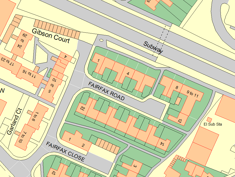
The base map is based on publicly available mapping. It provides context for your own maps and ensures that they remain accurate.
Decide what other data you need
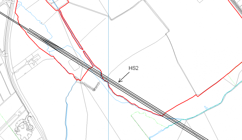
There is a wide range of data available that can be overlaid on your map. Choose which ones are appropriate for your business.
Identify what you need using Google Earth
Outline your area of interest in Google Earth. Send us the file and we’ll do the rest. Click here to find out how.
Two versions available
PT-Mapper is available in two versions. PT-Mapper Standard is aimed at users with smaller farms and simple requirements. PT-Mapper Pro has additional functionality to support larger estates, councils and arboriculturists.
- PT-Mapper Standard
- £600
- Draw lines and shapes
- Create buffer zones within objects (e.g. field boundaries)
- Measure objects – both linear distances and area
- Open multiple map windows concurrently
- Integrate with Google Earth
- Group individual layers to create specific themes
- Preview print view
- Add map titles and legends
- Add codes to specific objects and groups of objects
- Split fields to show multiple use
- Import files from various sources
- Export files to CAD and GIS
- Use shortcut keys to speed up editing
- Group objects
- Paste KML data directly onto map
- PT-Mapper Pro
- £950
- All the features of PTMapper Standard, plus:
- Create separate maps from your main map
- Export maps to PocketGIS
- Use tree tab to speed up tree management
- Produce a complete property schedule for viewing and export to Excel
- Search and navigate map via street gazetteer
Designed for your business
Rural
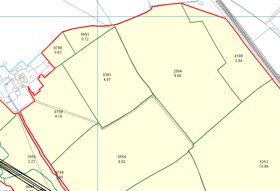
PT-Mapper allows you to manage your land more productively. With your own digital mapping system, you can record, plan and strategically organise all of your estate management activities, simply and effectively.
Tree Management
PT-Mapper gives you the tools to manage your land more productively. With your own maps, you can record, plan and strategically organise all of your estate management activities, simply and effectively.
Councils
PT-Mapper provides a cost-effective tool for councils and public sector bodies that need to manage assets or land. Using Ordnance Survey maps as the basis, we help you manage your properties, assets, cemeteries and allotments.


