Pear Technology‘s cemetery mapping software helps increase council’s efficiency
Higham Ferrers Town Council
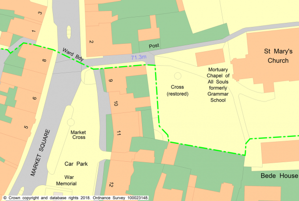
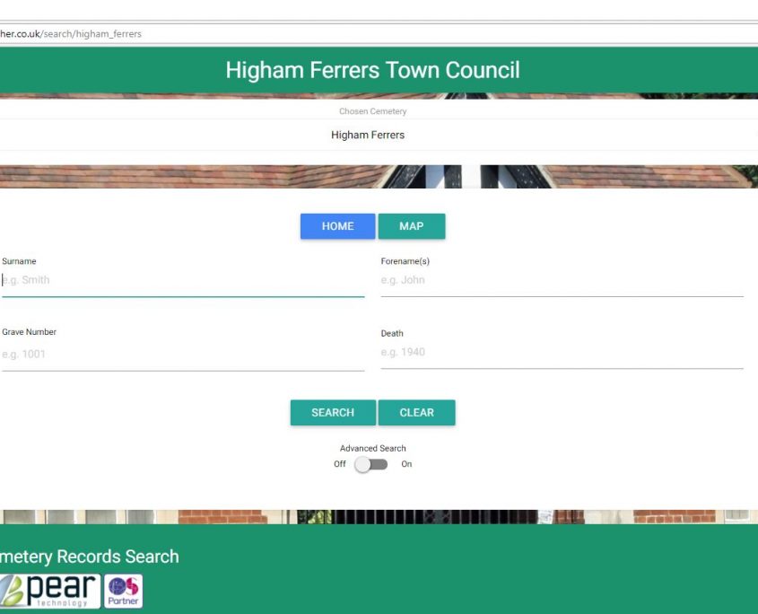
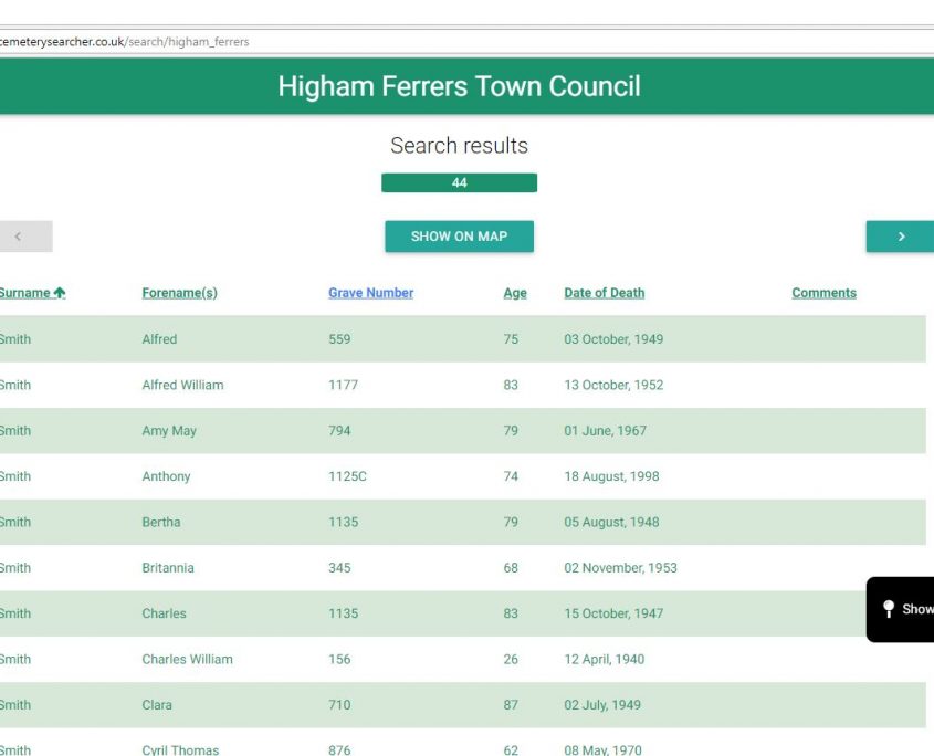
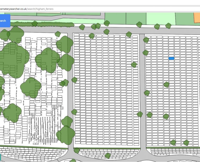
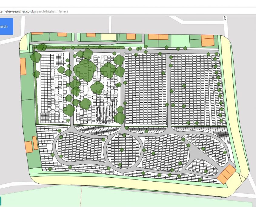
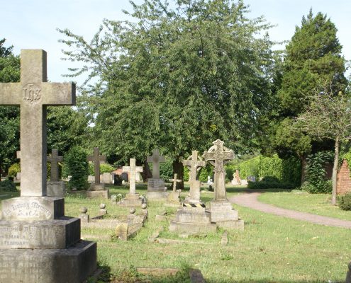
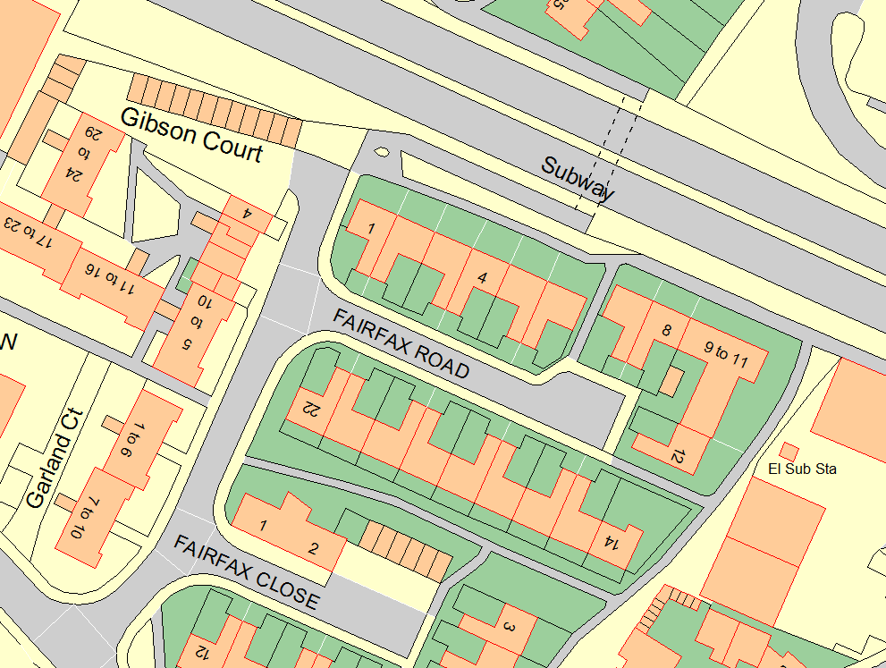
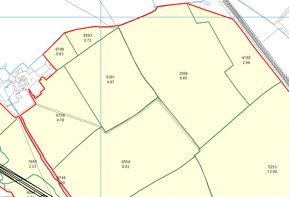
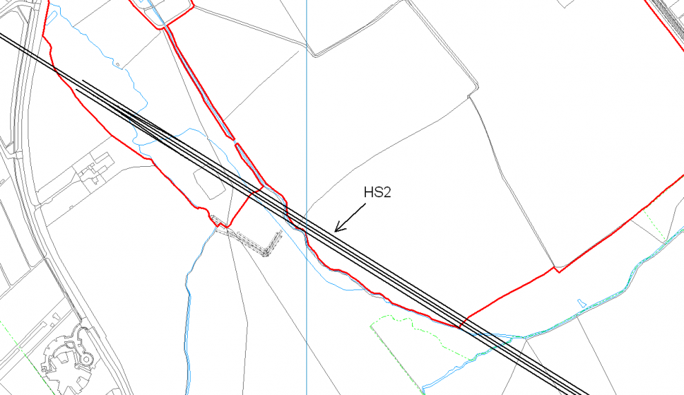
Higham Ferrers Town Council needed a digital mapping package to help map assets, plan events and help with cemetery management. After purchasing Pear Technology’s mapping software and services the council is now able to quickly and easily search burial records and create maps.
The historic market town of Higham Ferrers in Northamptonshire, has a population of around 8500 and has long links with the Duchy of Lancaster, who still owns considerable land holdings in the area. The Town Council was created in 1974 and is the successor to Higham Ferrers Borough Council. Sandra Mitcham has been the Town Clerk since 2011 since joining the Council, having previously been the clerk in her home village of Needingworth.

