Latest in Rural

The latest updates in the Rural Sector for 2023, our upcoming PearGIS updates and some of our upcoming ventures for the year.

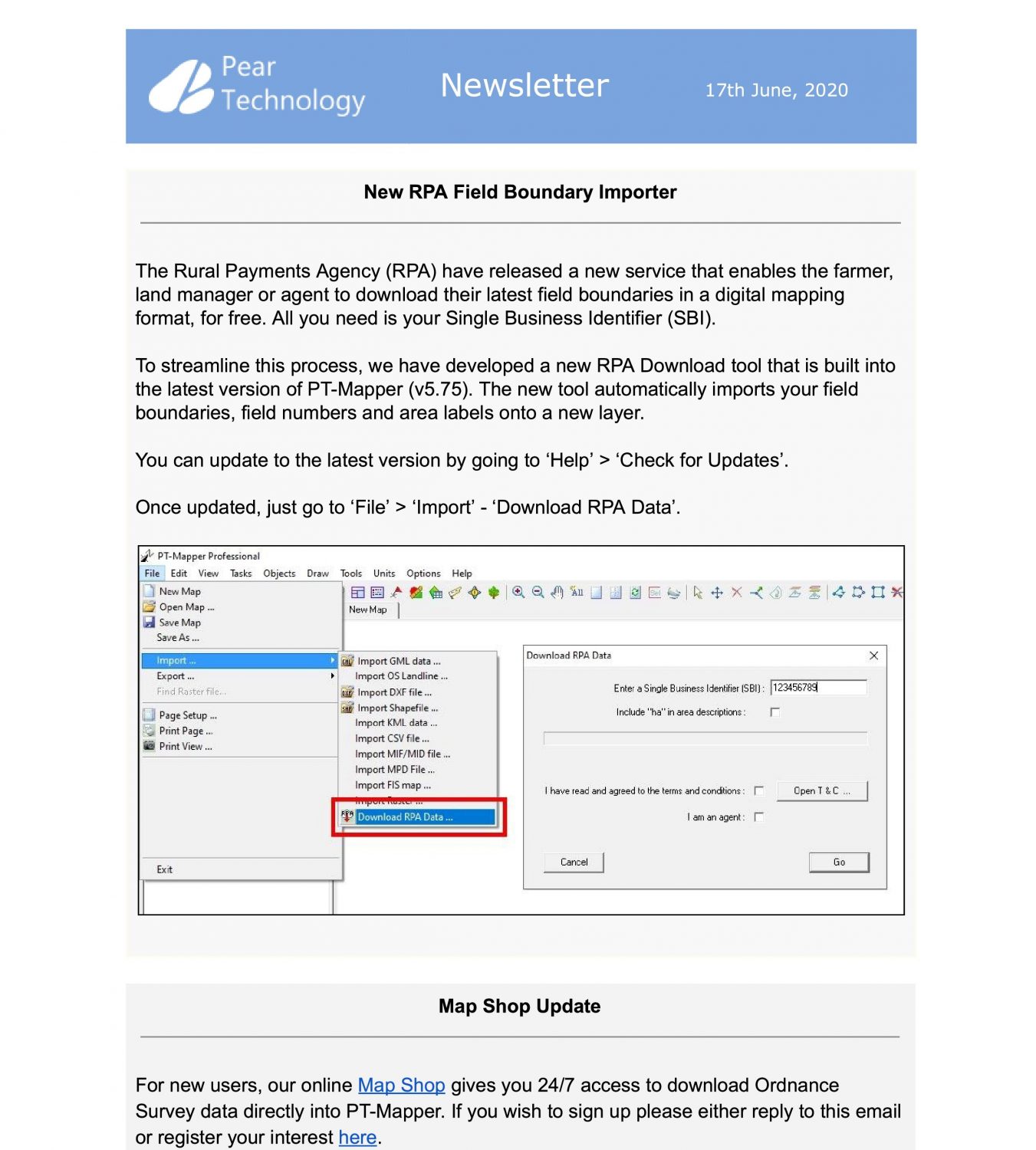
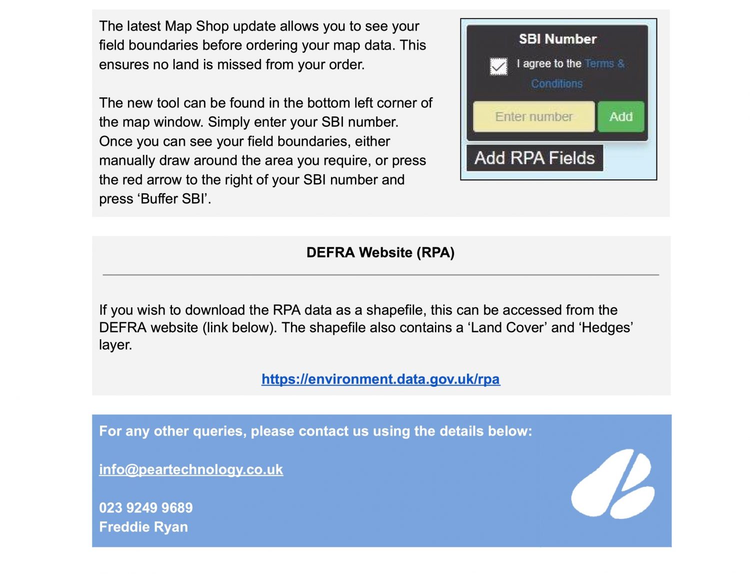
New RPA Field Boundary Import Tool & RPA Download

Pear Technology at the Farm Business Innovation Show 2018 [Stand 2884]

Pear Technology will be exhibiting at the Farm Business Innovation Show this week on 7th & 8th November. You can get yourself free tickets from the link below. Find us on stand 2884.

We have a range of new items to show you including the online MapShop, new GPS devices, more government datasets and a look at future developments.

Freddie Ryan and Charlie Farrington who both look after the rural sector will be at the show, accompanied by Jonathan Smith and Mark Lloyd across the two days.

We hope to see as many of our existing customers as possible as well as all other visitors who have an interest in digital mapping.

Farm Business Innovation Show 2016

topstand-1040chris-talkmapshopgpscontact


Farm Business Innovation Show 2015 – 11th & 12th November

FBI Banner

Pear Technology are thrilled to announce that they will be exhibiting at the Farm Business & Innovation show on the 11th./12th. November at the NEC  in Birmingham.

The Farm Business & Innovation shows is a large event that keeps Farmers, Land Managers, Glampers, Campers, Estate Owners and all sorts of other people up to date with the latest software, products and services that are available to help them manage their land and assets. It really is a great opportunity to explore avenues that you may have never thought of before and the whole show is an extremely well organised event. An added bonus is the number of useful and interesting seminars which are held throughout the two days which are short, punchy and topical.

Pear will be exhibiting on Stand 442 promoting our mapping software, new available datasets and various types of GPS equipment. We are excited to say that we have a specialist from Leica exhibiting with us who will be demonstrating a new range of devices that Pear will soon be selling. Pear will be introducing a new service which is our very own online ‘MapShop’ which allows customers to purchase OS MasterMap and OS VML data for a user defined area, 24 hours a day.

The show is also a great opportunity to meet some members of the Pear team.  Freddie Ryan, who is managing the Farms and Estate Sector will be attending on both days along with a new colleague, Charlie Farrington, who is based down in the South West and has a strong background in the farming sector. In addition, the managing director Chris Makin, will be in attendance and is looking forward to  meeting all existing and new customers.

We look forward to seeing you at the show.

Admission tickets, which are free, can be obtained by following the link below:-

http://www.eventdata.co.uk/Forms/Default.aspx?FormRef=FBIB5Visitor

Public Rights of Way data now available for the majority of the UK

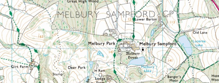
Public Rights of Way data has recently become much more widely available and Pear Technology are pleased to offer the service of adding this information to your digital map.

Available on various Ordnance Survey raster tiles, Public Rights of Way information previously had to be purchased then painstakingly traced leaving some degree of inaccuracy. It can now be added to your digital map on its own layer, making it much easier to display and edit on your map. In PT-Mapper Pro, one click can tell you how long the footpath is and another can show you the route in Google Earth’s aerial view.


Subject to the data availability, we can provide you with a layer for each classification of the Public Rights of Way. These are:

  1. Footpaths – for walking, running or mobility vehicles.
  2. Bridleways – for walking, horse riding, cycling or mobility vehicles.
  3. Restricted Byways – for any transport without a motor and mobility vehicles.
  4. Byways Open to All Traffic (BOAT) – for any kind of transport, including cars but mainly used by walkers, cyclists and horse riders.


Landowners have responsibilities for the Rights of Way which fall on their land. Knowing where these routes are is the first step in ensuring compliance with environmental law!


Did you know?

  • You are not allowed to grow crops on Public Rights of Way, although grass can be grown for hay and silage.
  • Footpaths and Bridleways may not be ploughed unless they cross fields. Landowners must then supply an access route 1m – 2m wide respectively within 14 days of ploughing.
  • You cannot put up gates or stiles without the local authorities permission.


If you would like Public Rights of Way information added to your map simply email info@peartechnology.co.uk or call us on 02392 499689 and we can check availability and provide a quote for the work.