NEW for 2023! Introducing a new way to locate in your online asset maps.
Our online interactive asset maps are an intuitive, easy-to-use tool for local authorities to publish information about the land and assets they are responsible for.
In an exciting new update, we have now partnered with what3words to integrate their location identification with our software, allowing users to share specific location information. This means that councils can now easily investigate issues at specific locations that may not otherwise be mapped, or easily located, such as fallen trees, potholes, fly-tipping, blocked prow routes, and vandalism.
The feature can be used in conjunction with a smartphone’s GPS to accurately share the information when out and about, or when viewing on a laptop or PC.
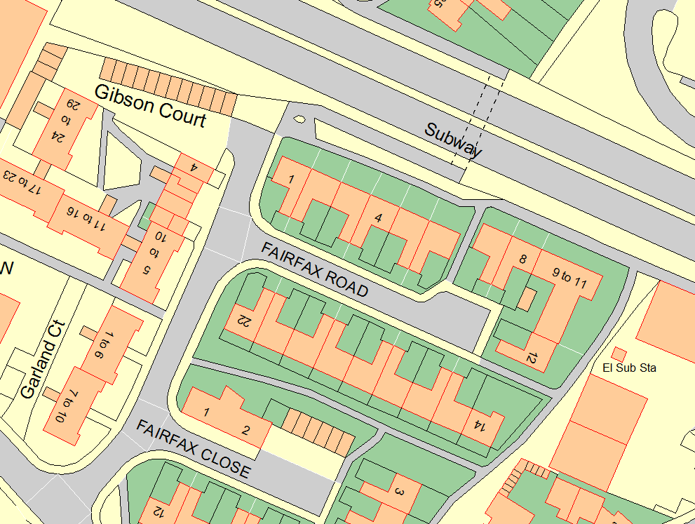
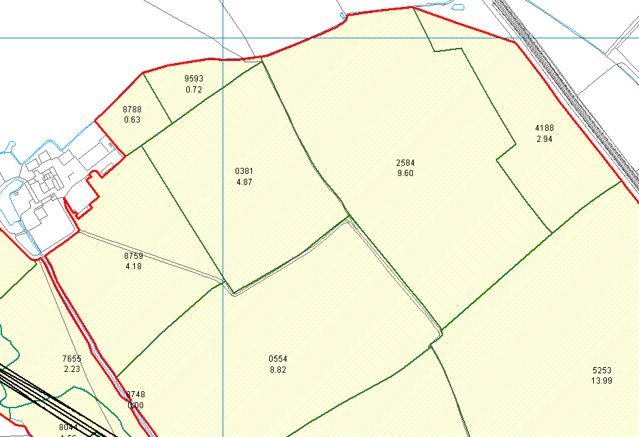
With our web-embedded maps, councils can accurately map ward boundaries, play parks, allotments, litter bins, salt bins, public rights of way and more. Members of the public are able to view their council’s land and assets, and can also click on an asset to discover more information about it. The map can also be used by council grounds staff to locate assets that require work, such as for mowing or for carrying out inspections.
For more information about asset plotting, visit our page here: https://www.peartechnology.co.uk/councils/council-asset-plotting/
Take a look at the Asset Map in action with our short demo video below:


