The Asset Plotting Process
Already got a map and want to get more from it?
Interested, but not sure where to start?
Learn about plotting your Council’s assets, and bringing your digital map online.
Find out how the process works in 3 easy steps.
Step 1, Option 1
Pear Creates Your Map
Pear creates your digital map displaying your assets.
Drop us a message and we can help you get the ball rolling. Let us know what you want mapped, and we can do the rest!
You can either supply all the details of the land and assets that you want mapped, or we can visit your location and gather the data for you.
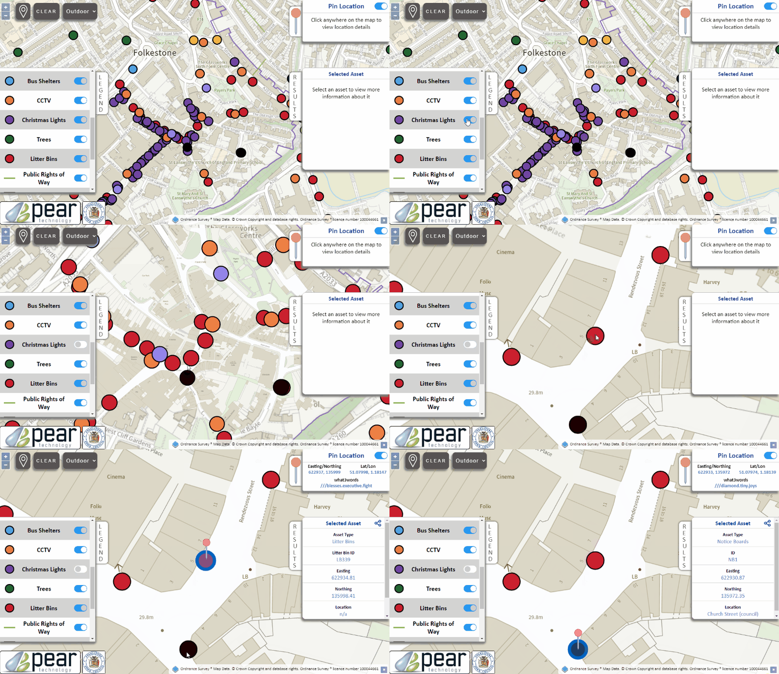
Once we’re all done, we will provide you with a digital version of the map. We will also create an online map (a Web Embedded Map) and will send you a link for your Council website. This will take users to a site hosted by Pear where your digital map will be visible to the public in an interactive format.
Step 1, Option 2
You Create Your Map
You create your digital map with the help of Pear.
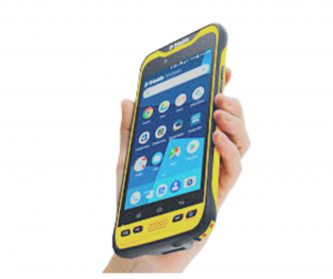
We can gather all the asset data for you on site, or you can do it yourself by hiring one of our specialist ruggedised GPS devices and receive some basic training to get you started.
You can take the device out in any weather and record the locations and conditions of your assets whilst on-the-go.
Step 1, Option 2
Step 2
Add Asset Info
Adding information about assets.
Information can be quickly added directly from our GPS devices.
Whilst using the device to capture the position of an asset, a basic survey can be carried out which can also include a photograph.
If you’d rather not have to figure this all out, we can do all the work for you – we’ll visit your site, record all asset data and bring your maps up to date to include all asset information.
Step 3
Map Goes On Website
Link your online map for public access.
Once the assets have been plotted, we will send you a digital copy of your map.
We will also send you a link to a webpage where we will be hosting and displaying your digital map, otherwise known as your Web Embedded Asset Map.
You can use this link to interact with your map. You can also post this link on your Council website to give access to the public.
The public can then use this link to view the land and assets that belong to the Council, and any further information about the assets e.g maintenance schedules, bin emptying rotas, etc.
Step 3
Frequently Asked Questions
How does it all work?
- We (or you) gather all the info about your land and assets.
- Pear then creates a digital map showing your land and assets.
- We create a web version of this map.
- Pear provides you with a link to your interactive online map (Web Embedded Digital Map) for you to place on your Council website.
Pear hosts the website, taking responsibility for the maintenance, stability and backups of your maps (in other words, we’ll sort all the fiddly techy bits).ÂWhat if I don’t have a digital map?
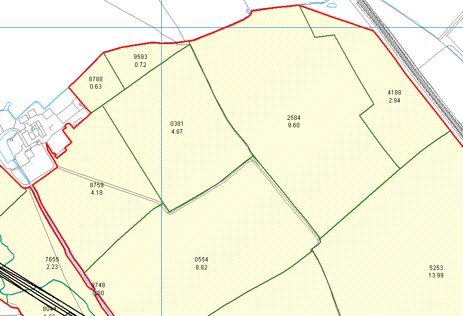
You may currently only have a paper or whiteboard map. If so, don’t worry, you can still upgrade this to an online interactive map!
You can upgrade to one of two options:
- Upgrade to have just a digitised map.
- Upgrade to a digitised map WITH internet hosting, allowing your map and assets to be visible to the public.
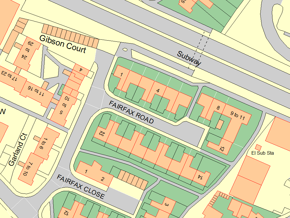
If you haven’t got a digital map or digital mapping software, we will send you a paper map for you to plot your assets on, or we can come visit and do this for you.
We can then convert this into a Web Embedded Digital Map for placement on your website
What if I already have a digital map?
If you have a digital map but you do not have your assets plotted, we can help you by either visiting site and gathering the data, or we can send you a paper map for you to mark the assets on. You may need to hire our ruggedised GPS device to do this.
Once you have a digital map with your assets plotted, we can then create an interactive Web Embedded Map for you.
What is a Web Embedded Asset Map?
Display your Council’s assets and land in the public domain, in an interactive format.
Allow the public to easily see what land and assets the Council owns.
What do I have to do?
Almost nothing! We can do all the work for you. All you’ll need to do is place a link on your Council / Parish website which takes users to the Pear webpage hosting your map. Take a look at the example above to see it in action!
If you’d like to, you can do the first step yourself: hiring out one of our ruggedised GPS devices to log all your asset and land data for us to create the map. If this doesn’t sound like a job for you, we’ll come to your site and do it all for you!
What are the benefits of having a web embedded map?
- Know who owns what. Have a full comprehensive list of all of the items in your town which are owned by the Council.
- Make this information publicly visible, so that members of the public can see what is owned by the Council and easily see if there are the maintenance notes about an asset.
- Public visibility makes identification and reporting of issues much more straight forward. If there are any issues with Council assets, the public can easily identify the asset and its location to the Council.
What assets can be mapped?
Here are some examples of assets that your Council might wish to map.
Street furniture
For example: Grit bins, salt bins, dog-waste bins, litter bins, CCTV cameras, lamp posts, flower planters, hanging
baskets, flower beds, benches, seats etc.Council Owned Land & BuildingsÂ
For example: parks, playgrounds, open spaces, woodlands, games pitches, beach huts, dinghy parks,
town/village halls, office buildings, village greens etc.