Providing Wayfinding Measurements for Ross-on-Wye Town Council using PearGIS
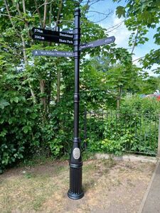
Ross-on-Wye Town Council planned to update the fingerposts in their town centre.
The existing fingerposts were considered outdated, with distances measured in yards. The council aimed to modernise the signage, changing the distances to metres. To achieve this, they required accurate wayfinding measurements of walking distances between planned fingerpost locations and various town centre destinations.
Ross-on-Wye Town Council approached Pear Technology to assist with this task. They needed to know the distances from specific fingerpost locations to key points of interest.
Our Solution
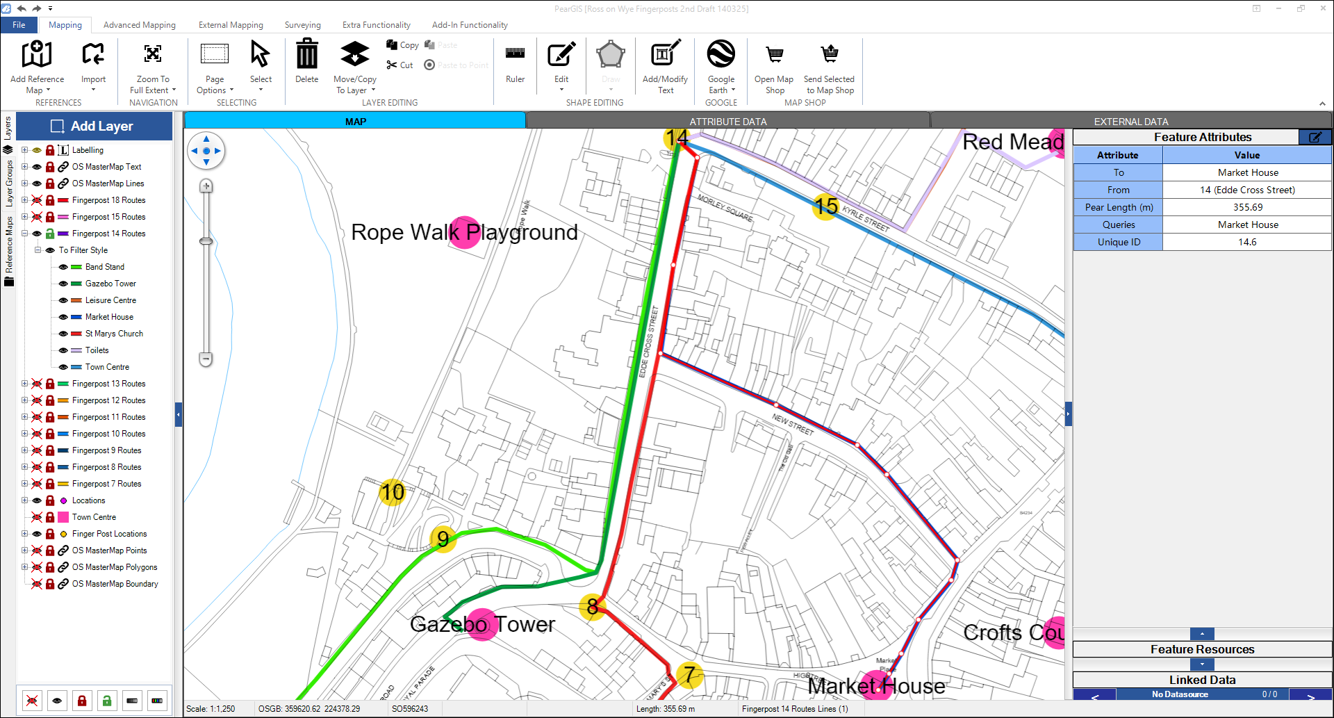
Pear Technology proposed a method for calculating these distances using our mapping software, PearGIS.
The council confirmed that they required the distance of the route someone would walk between locations rather than the direct, straight-line distance between points.
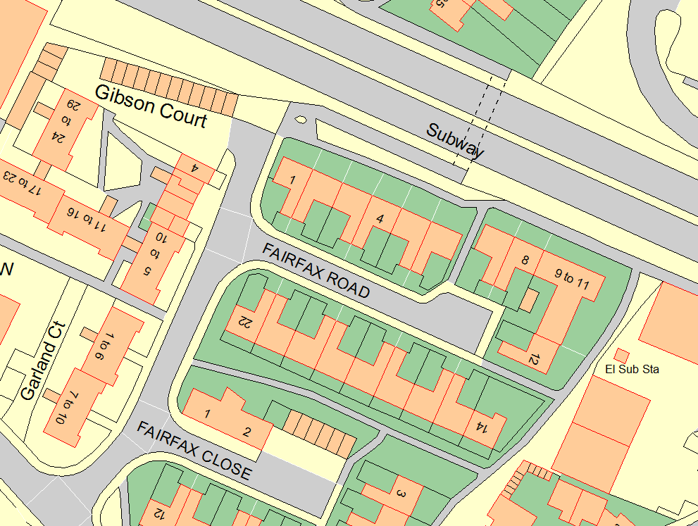
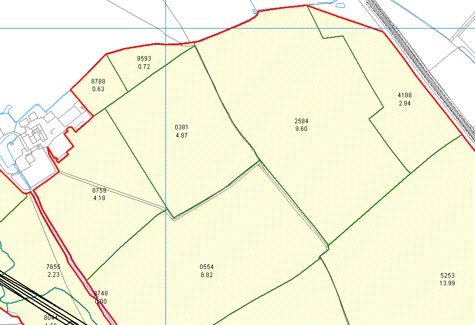
The Mapping Process: Data, Detail, and Challenges
The Mapping Process: Using PearGIS
Pear chose to use our, then new, mapping software, PearGIS. Unlike PT-Mapper Pro, PearGIS is able to store a database of information within the software which meant is was much easier to identify, edit, and label sites which made working on multiple drafts much easier.
Deliverables
We provided Ross-on-Wye Town Council with the required information in several formats:
- Digital Maps: Drafts were shared as A0 PDF maps, making sure the locations and routes were clear against the detailed Ordnance Survey Mastermap Topography Data backdrop.
- Excel Spreadsheet: The calculated distances for each route were exported from the map into an Excel spreadsheet which could be easily shared with the council. During the draft stages the spreadsheet also included any queries that needed clarification from the council, making the amendments process simple.
Outcome
“By using our mapping software, PearGIS, and a collaborative process of plotting, routing, and refinement, Pear Technology successfully produced the necessary walking route measurements for Ross-on-Wye Town Council’s fingerpost update project. This provided the council with the precise data in metres required to modernise their wayfinding signage, moving away from the outdated imperial measurements.”
The support from Pear in pulling together these measurements has been invaluable in completing phase 1 of our fingerpost refurbishment project. We look forward to using the service again in future, whether that be for phase 2 of the project or walking routes.
Software Used
- PearGIS, Pear’s powerful new mapping software.
- Google Earth

