
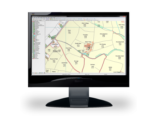

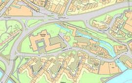
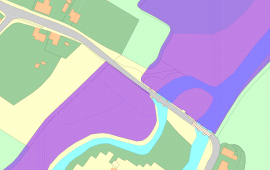
Both our PT-Mapper and PearGIS software not only allow you to create a map of your land, but to overlay information on tenancies, ownerships, properties, cropping, forestry plantings, utilities, Rights of Way, event planning, moorland management, environmental areas, ELS/HLS schemes – in fact, all the geographically-based information you are likely to need! Each topic can be brought onto the map at a click of a button.
Measure areas, make modifications and email or create prints at any scale on any size paper. By visualizing information in a purpose-designed package, management can become more effective and plans better communicated to others.
Visit our PearGIS page to find out more about our latest mapping software and download a free trial.
Land management mapping software gives you the tools to manage your land with clarity.
With your own easy to use digital mapping system strategically organise and manage all of your estate management activities, simply and effectively.
Unlike free online mapping tools, our software has been specifically designed for land managers. It is easy to use, clear and offers all the functionality you need to manage your estate. It can also be used offline and through mobile devices.


How others are using PearGIS and PT-Mapper to manage their estates
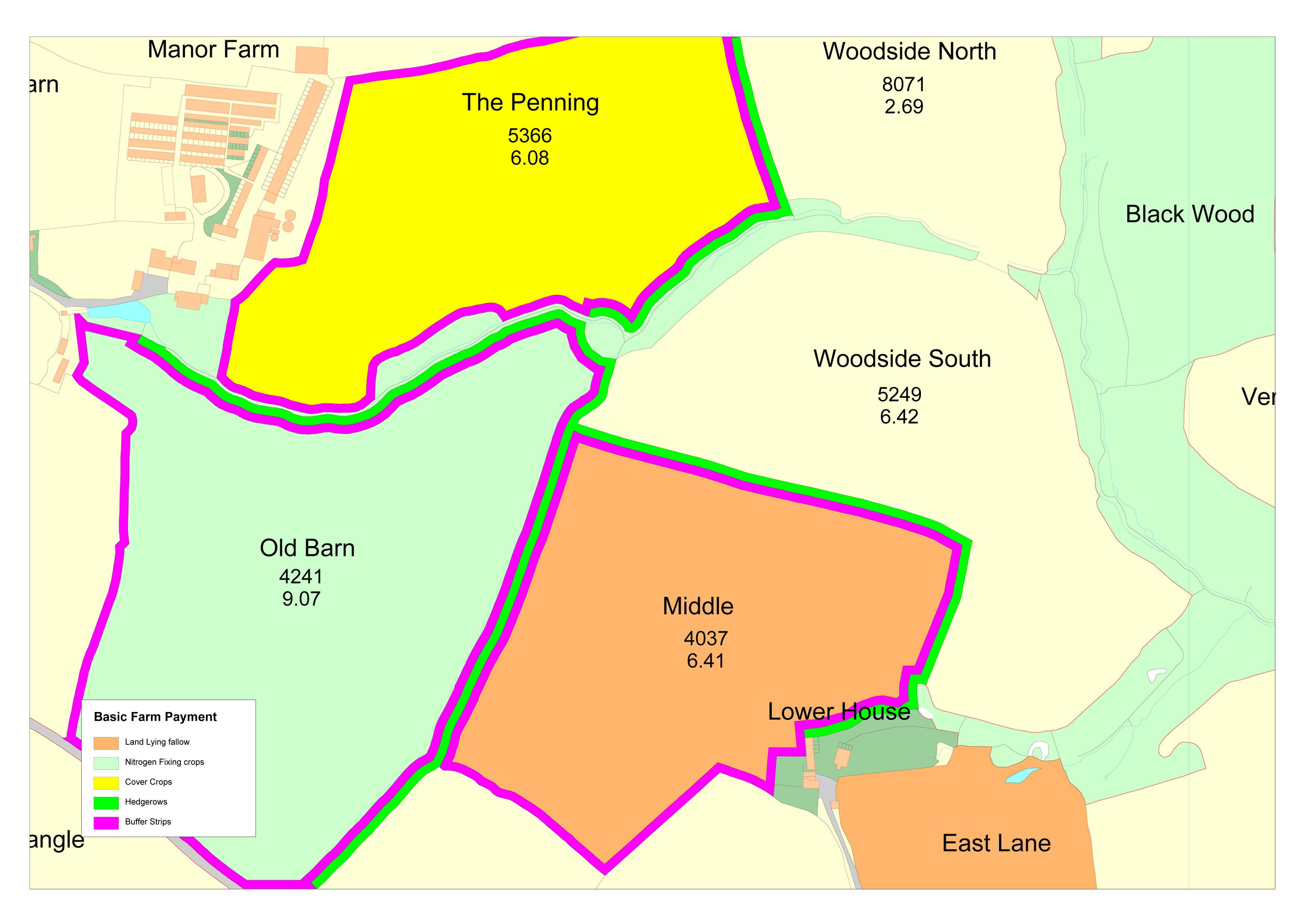
| Buffer Strips Hedges Land Lying Fallow Crops |
Land use Net field area Identify objects Create prints Open in Google Earth |
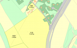
| Land Registry Titles Mineral Rights Sporting Rights Tenancy Plans Ownership Boundaries |
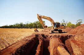
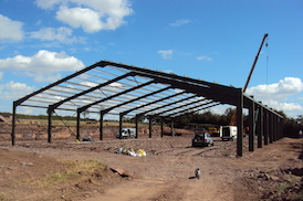
Developments Access Maintenance Listed Buildings Wayleaves and Easements |
| Basic Payment Scheme RPA Plans ELS and HLS Cross Compliance |
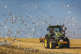
Crop Plans Animal Movements Research and Monitoring |

| Maintenance Surveys Management Plans Reports Grants WPG Access Conservation Plans |
Research FC Inventory FC Grants Ancient Woodland Felling Grants Applications Species Plans |
| Water Pipes Electricity Gas Telephone |
Stop Cocks Drainage Roads and Tracks Wayleaves and Easements |

| Areas of Outstanding Natural Beauty Natural Nature Reserves Listed Buildings |
SSSI Grant applications Ancient Monuments |
| Diversification Option Planning |
Development Strategy Grant Applications |

| Weddings & Parties Festivals & Exhibitions Country Shows |
Shooting Events Fishing Equestrian Events Golf |
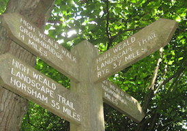
| Access Walking Rights of Way Footpaths |
Bridlepaths Warning Duty of Care Sites of Interest |
What Others Are Saying
“Pear Technology’s mapping system and services have become integral throughout our land agency and farm consultancy businesses.”
“I have used Pear’s software for 10 years. Their product is excellent and they also provide first-class support, ensuring that our mapping provides us with all the information we require to run our business.”
“Pear Technology provides a modern and streamlined digital mapping platform that has greatly enhanced the way we manage our rural estates.”
“We mostly use PT-Mapper Pro for asset mapping. I have  not only found it easy to use but also very useful as the data is linked to each asset which obviously saves us time. I haven’t had any difficulties with the software but any technical issue I have had, I just call up and it gets sorted asap.”
“The Pear Technology system cost us about £2,000.00 in 2010, including training and the first year’s support. It’s difficult to quantify monetary savings but the system has enabled us to do our work in a faster, more professional and more responsive way. It’s difficult now to imagine not having such a system.”
“Stratton St. Margaret Parish Council is responsible for cemeteries, allotments, play areas, open spaces and assets such as dog bins, litter bins etc. Pear’s software has not only helped with the management of all this but is easy to use.”
“We have been using Pear Technology’s mapping and tree management software for over 3 years now. We are very pleased with the software that we use. Their customer support and service is second to none.”
“Needless to say, PT-Mapper Pro is a very user-friendly system to use. RPAs (including multi-stems) and crown spreads can be easily plotted; title boxes can be quickly added along with layers for ground protection, tree protection fencing or construction exclusion zones. Plans can then be printed or exported back to clients. All in all PT-Mapper Pro is a great product with sound back-up from the technical staff.”
“Pear Technology’s software has proven itself invaluable, I don’t know how I managed without it. It’s easy to use, speeds up data capture, has a diverse range of uses and improves overall efficiency. Pear Technology provide exceptional customer service and I have no hesitation in recommending them. One of the best companies I have ever worked with.”
“The software has become an integral part of our consultancy service and is a fantastic tool.”
“Using PT Mapper Pro has sped up the plotting process considerably, and it is now an invaluable tool for me. The time saved with plotting has more than covered the investment and I would be lost without it. It is a reliable piece of equipment for me, and helps to ensure that the plans in each report look as professional as the text and survey data.”
“Simmons and Sons have used Pear Technology for a number of years. The product for Rural Land agents  is in our experience the best on the market. The backup service and support Pear Tech has given is extremely helpful and thorough. I would recommend them.”
“We are part way through the mapping process as we have three cemeteries to contend with. The process is very straight forward and Pear have been extremely professional and helpful. Having all of the details of Poundbury Cemetery at my fingertips has well been worth the cost and effort involved and will prevent any mistakes being made in future.”


 Land Registry Titles– The high value product gives direct access to the Land Registry’s source of information for all property titles. This allows you to verify land ownership against OS MasterMap data, create separate Land Registry maps for each title, and identify anomalies and confirm exact ownership areas.
 There are many different data sets available to provide extra detail and analysis for your estate map. Using these sources saves time recreating the data and ensuring your map reflects the information held by other agencies. Pear will compile all the data relevant to your estate for £100+VAT.


