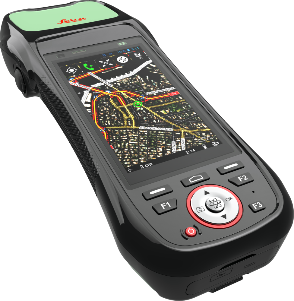
The new Zeno 20 from Leica is our best performance data capture device. When accuracy matters, the Leica Zeno 20 is the perfect handheld GPS solution.
Leasing and Hire options available.

Leica Zeno 20 – To Buy
| Zeno 20 (50cm) | Zeno 20 (5cm) | |
|---|---|---|
| Zeno 20 | From £5100 | From £7700 |
| SmartNet RTK (40 hours/month) | £500 per year | £1300 per year |
| PocketGIS | £600 | £600 |
| Total |
From £62001 |
From £9600 1 |
Leica Zeno 20 – To Lease
| Zeno 20 (50cm) | Zeno 20 (5cm) | |
|---|---|---|
| Leasable total |
£61292 |
£87292 |
| Monthly payment (36 months) | £194 | £277 |
| Optional purchase cost after 3 year lease | £306 | £436 |
All prices exclude VAT and Shipping. 1 Insured shipping for the Zeno 20 handheld is £120.
2 Subject to application being accepted. Includes 3 year warranty extension, PocketGIS and leasing set up fee. SmartNet RTK service is not included in the lease figures and is payable separately.
Please contact us for a personalised quotation.


Extremely sensitive GNSS antenna.
Powerful, easy-to-use PocketGIS Software.
Bright, large 4.7” touch screen.
5cm level accuracy
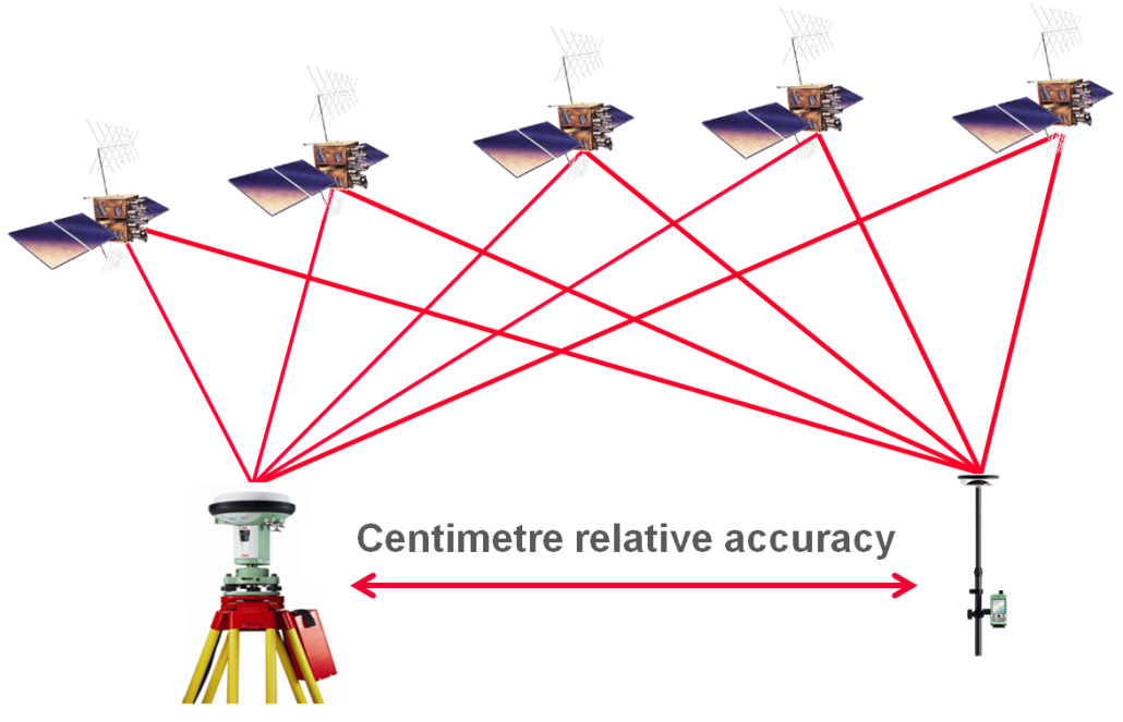
GPS Correction: With one GPS receiver or position with no ‘corrections’, the accuracy of the device is limited to around a few metres. To increase the accuracy, we need two or more GPS Receivers. A common method is to use your GPS device with one reference station, allowing for corrections to be made giving you sub-metre accuracy. What the Zeno 20 offers is the option of talking to multiple reference stations (Network RTK) to bring the accuracy down to cm level.
NetWork RTK: Real Time Kinematic GPS. The device uses a network of reference stations across Britain using the internet (requires mobile signal) to correct the device’s accuracy.
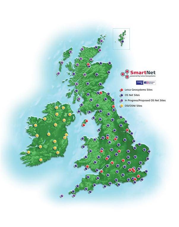
Leica SmartNet: The Ordnance Survey have a network of 110 permanent GNSS Stations across Britain, called OS Net. This raw GPS data is fed straight to Leica where they calculate parameters for the GNSS errors sources.
Using the Leica Zeno 20, its ‘uncorrected’ GPS position is sent to the SmartNet Server. Both the GNSS data from the nearest 5 or 6 OS GNSS stations and Leicas error parameters are streamed directly to the device using an internet connection. The device then uses these real time figures to correct its position down to cm accuracy.
| Accessory | Accessory Price |
|---|---|
| Lithium Ion Battery | £200 |
| Desktop charger | £160 |
| 12V Car charger | £60 |
| AC Adapter | £110 |
| Capacitive stylus (tether included) | £20 |
| Anti-glare screen protection foil – 2 pack | £50 |
| Hard Container | £200 |
All prices exclude VAT
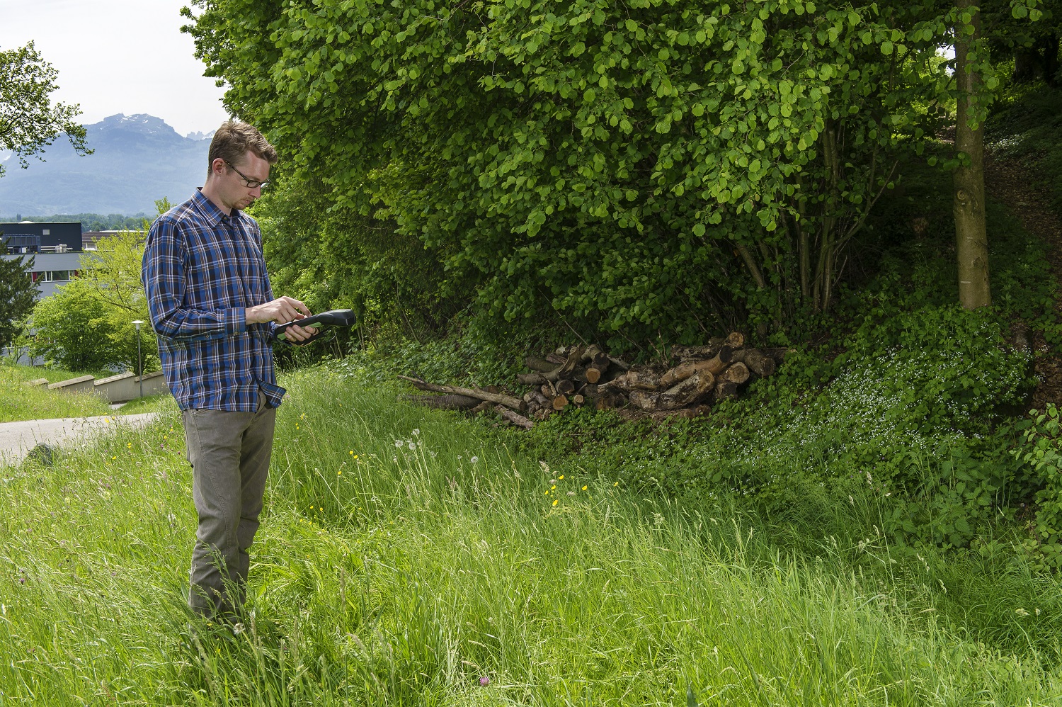
For one off jobs where high precision is required, we can provide a hire service. Training and support can provided if you are not familiar with our software.
| Price | |
|---|---|
| Zeno 20 – 5cm SmartNet RTK | £350 per week |
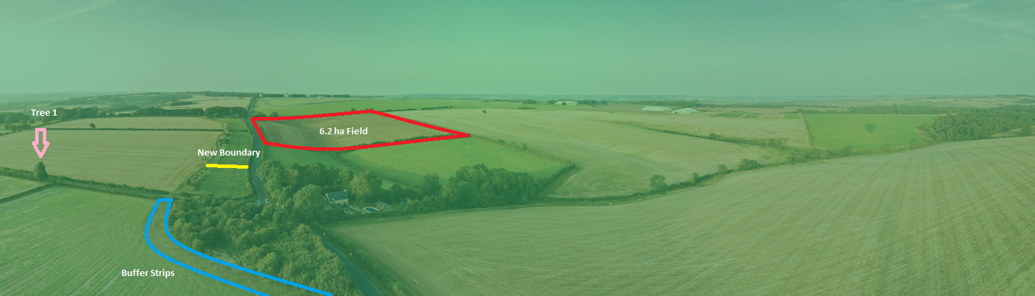
Do you want to create an accurate map showing where your assets and services are located? Too busy to get the job done? Don’t have the have the time to learn how to use new equipment?
If your are answer is yes to any of these questions, we have a solution for you. Our mapping services team can provide you with all the help you need to map your assets, services, parks, cemeteries, play equipment or any other feature you want to plot on a map. All work is carried out using the Leica Zeno 20 to ensure your maps are created as accurately as possible. Please contact us today to discuss your requirements.


